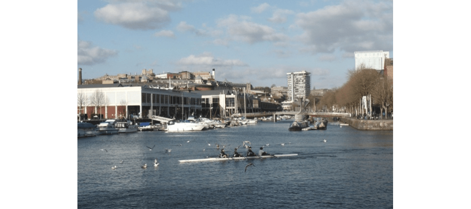
Towards the end of the 1960s it was clear that Bristol’s ancient harbour was too small to be economically viable. It was to close commercially. The question was ‘What to do with it?’ A serious proposal came from the City Council in 1969 that ‘to permit freedom for replanning’ navigation rights should be extinguished through the harbour between Cumberland Basin and Totterdown Lock and also from Totterdown Lock to Netham Lock on the Feeder canal. Waterways most appropriate for reclaiming and of least potential for value as waterways were listed as: the whole of the Feeder canal; the Floating Harbour between St Philip’s Bridge and the Feeder; half the section between Cumberland Basin and St Augustine’s Reach. This last area amounted to some 24 acres of which about half would be “reclaimed”.
It was proposed to retain a waterway through the city for small craft of a size suitable to traverse the Kennet and Avon Canal. A minimum draught of 3½ft was suggested. Clearly the council saw this as an opportunity to provide more land in the centre of Bristol for buildings, roads and car parks. Plans were put on view to the public. Needless to say opposition to the proposals was vociferous and the plans never materialised. It just goes to show that, at least in 1969, public opposition to development proposals had the desired effect.
